Related news
Discover more stories about Mitacs — and the game-changing innovations driven by students and postdocs.
Winnipeg, MB — Today, Research Manitoba and Mitacs announce the renewal of their strategic partnership, with Research Manitoba providing an investment of $4.8M over three years to support Mitacs in several initiatives that benefit Manitoba’s research and training ecosystem.
Research Manitoba’s investment supports several Mitacs programs that connect Manitoba researchers with local companies to provide internships and professional training programs. These programs result in lasting impacts on both researchers and industry partners, equipping researchers with invaluable skills while empowering industry partners with fresh perspectives and innovative solutions for long-term growth and collaboration. Many of the interns transition to full-time careers with their internship partners after the programs are completed and become leaders in their fields.
One program of note supported through this renewed partnership is the Indigenous Pathways program, which provides greater access to opportunities for Indigenous business owners and researchers by reducing the amount of investment from the host organization for the internships. With funding from Research Manitoba, Mitacs provides 75% of the cost of projects with an Indigenous host organization and/or intern.
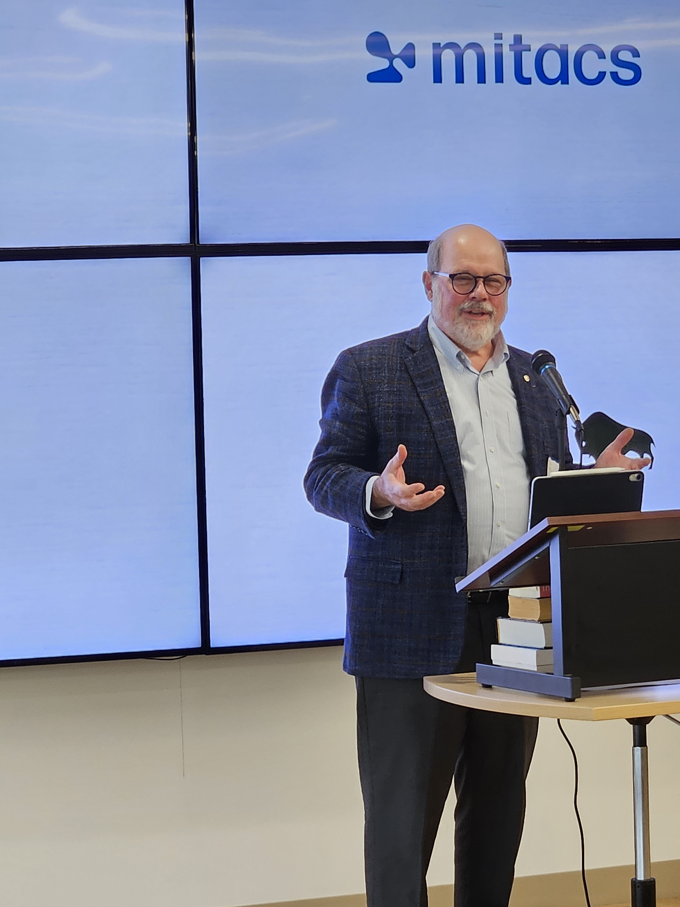
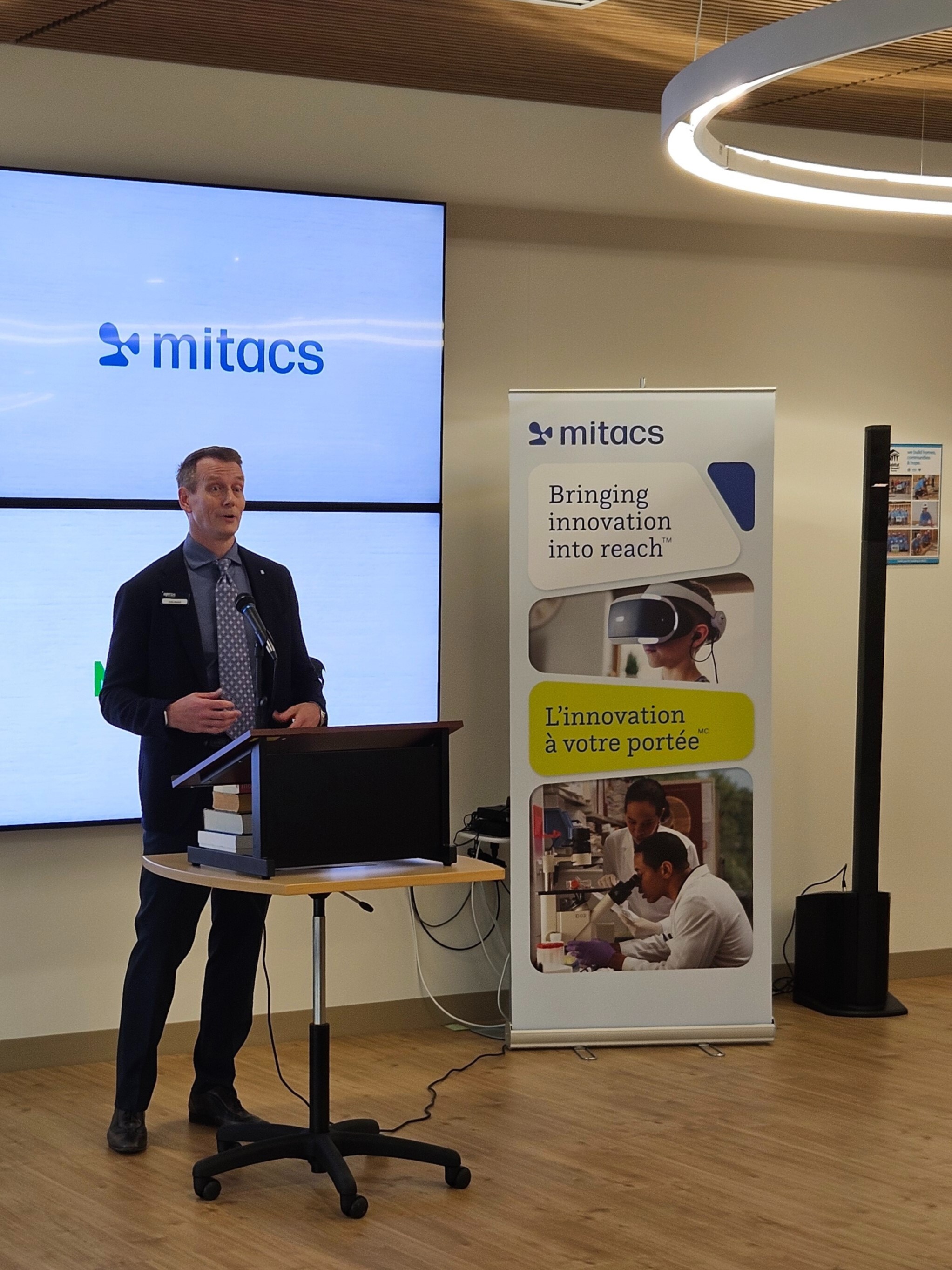
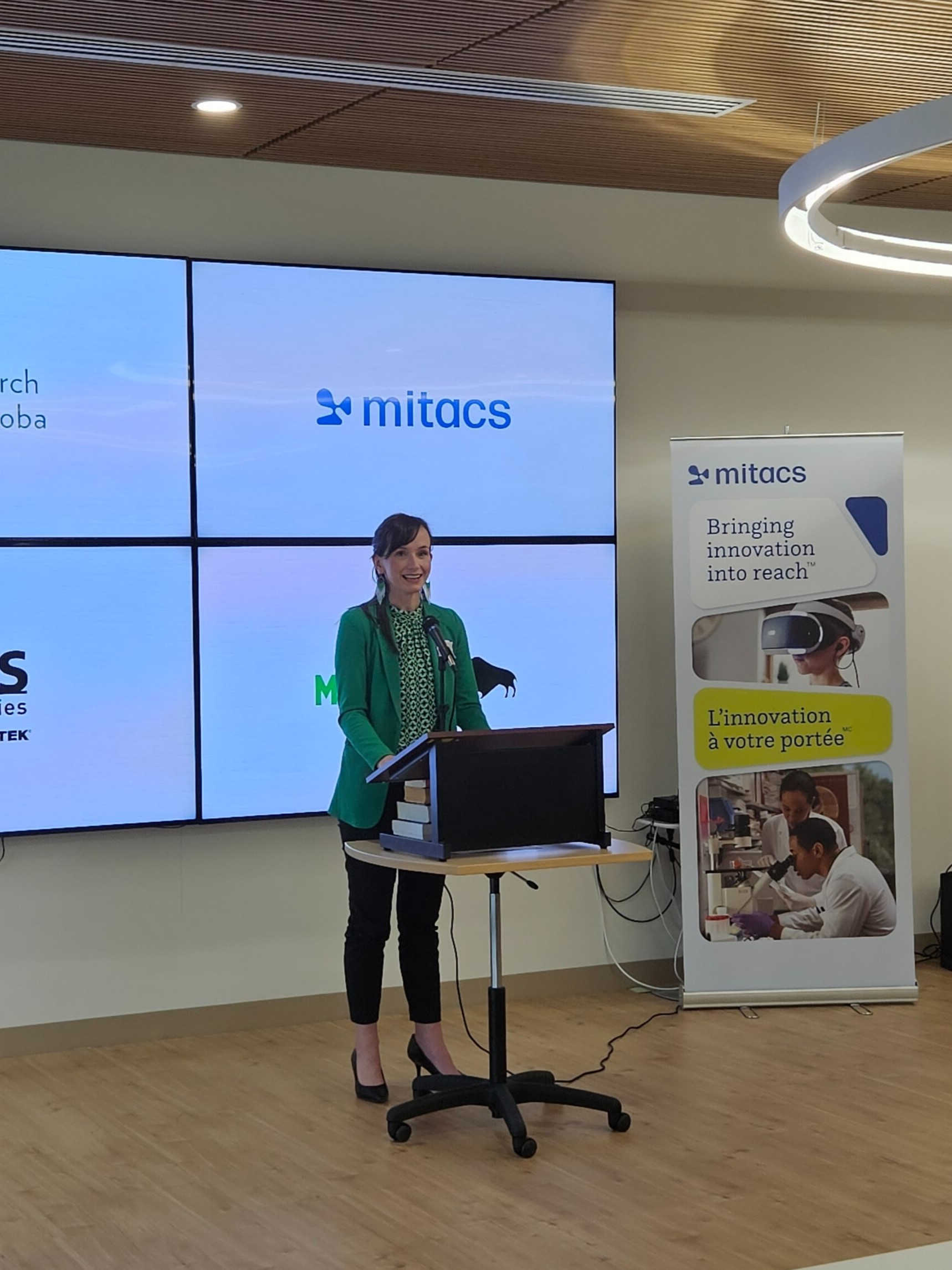
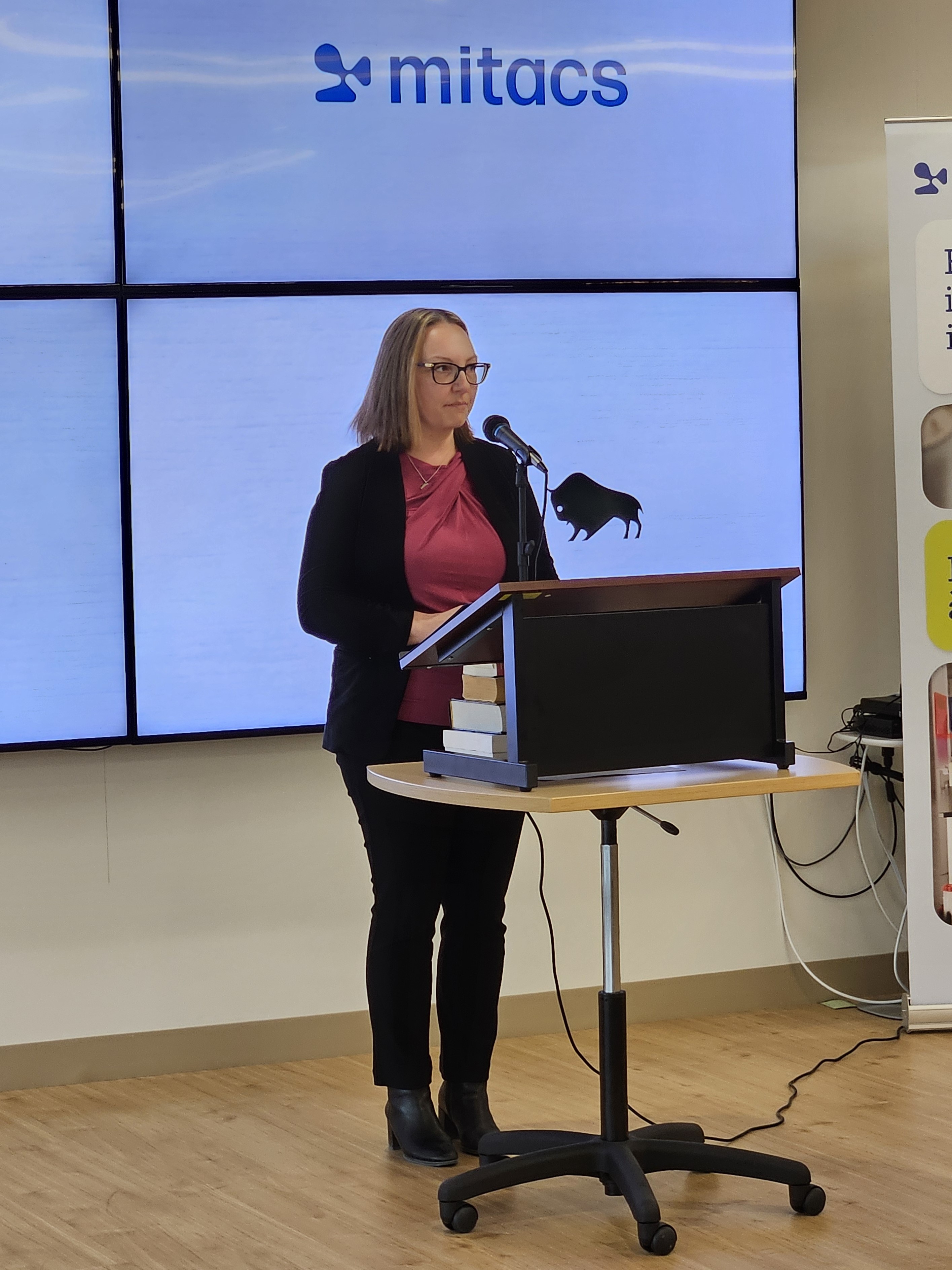
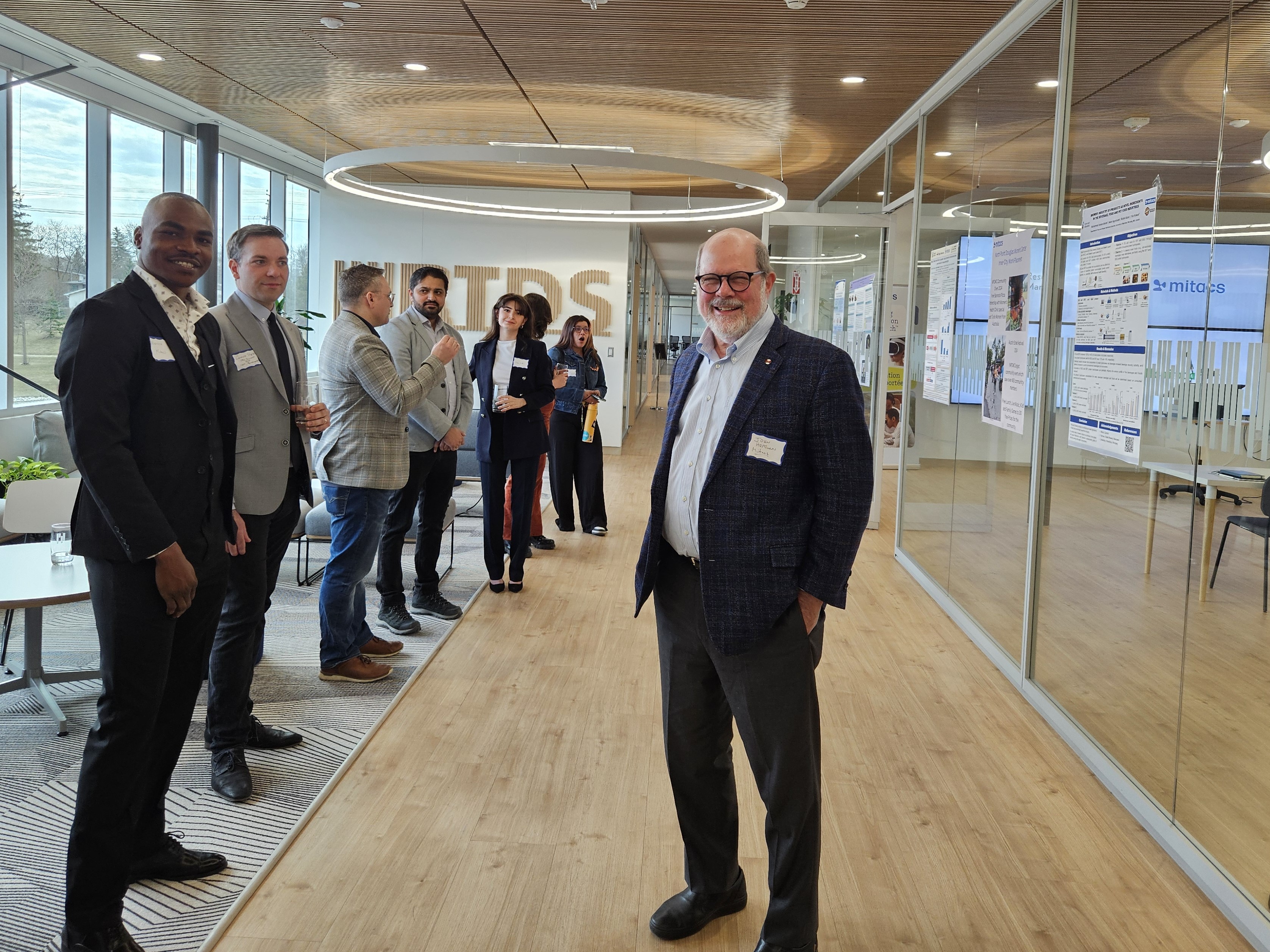
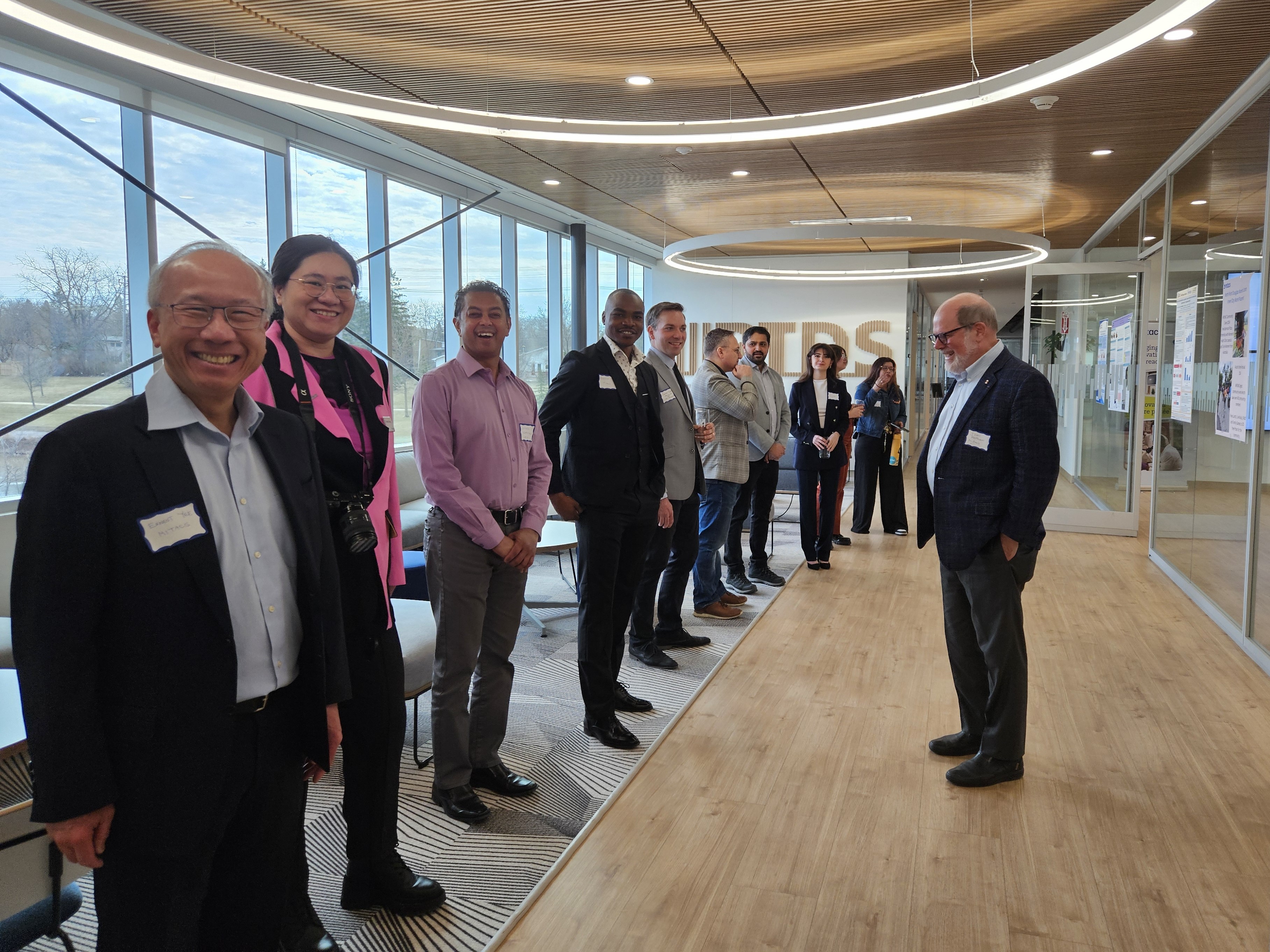
Today’s announcement is marked with a celebration at RTDS Technologies Inc., a Manitoba organization that has hosted several Mitacs interns who have successfully pursued full-time employment at the facility afterwards. Honourable Renée Cable, Manitoba’s Minister of Advanced Education and Training, was in attendance and met with several Mitacs interns, past and current.
Find out more about Mitacs programs at mitacs.ca.
“Connecting research talent to Manitoba businesses and industry is an important way we support economic growth across the province. Mitacs programs provide much needed professional experience, and drive productivity, employment, and the skills training required to support a thriving Manitoba. We are thrilled to continue our partnership with Research Manitoba.”
John Hepburn, CEO, Mitacs
“The Research Manitoba-Mitacs partnership provides necessary support to Manitoba’s research community by providing opportunities for academia and industry to come together to work on an industrial research question, along with providing training to the workforce of tomorrow. These internships enable students and new graduates to gain much-needed professional experience and provide valuable insights and outputs to the local companies they serve. These connections strengthen and grow Manitoba’s reputation as an environment to create global impacts through research.”
Jennifer Cleary, CEO, Research Manitoba
“Participating in the Mitacs Accelerate program has been a game-changer for me. It’s not just boosted my research with valuable resources and industry ties, but it’s also reshaped my future career path and job prospects. Through the program, I’ve gained first-hand understanding of industry demands and identified key skill sets I need to hone to stand out as a stronger job candidate. Gaining practical skills, engaging with end users of my research, and obtaining firsthand industrial insights are among the many advantages I’ve derived from this program; all of which wouldn’t have been possible without the partnership with Mitacs.”
Dorsa Jeddi, Mitacs Accelerate Intern
“During my PhD program at the University of Manitoba, which was supported by RTDS Technologies and Mitacs, I was mentored by world class experts in the area of power system simulation. This unique and invaluable experience not only boosted my career in the power industry but also allowed me to contribute to Manitoba’s industry and economy. Thanks to RTDS Technologies and Mitacs, I fulfilled my goal of making a global impact in the power system sector, witnessing the tangible outcomes of my research.”
Ali Dehkordi, Former Mitacs Intern and R&D Manager, Power System Modeling, RTDS Technologies
Mitacs works to bring innovation to more people in more places across Canada and around the world. Mitacs makes investing in new knowledge easier through access to top researchers, flexible project plans, and co-investments in talent.
A not-for-profit organization, Mitacs is funded by the Government of Canada, the Government of Alberta, the Government of British Columbia, Research Manitoba, the Government of New Brunswick, the Government of Newfoundland and Labrador, the Government of Nova Scotia, the Government of Ontario, Innovation PEI, the Government of Quebec, the Government of Saskatchewan, and the Government of Yukon.
Learn more at mitacs.ca
Research Manitoba promotes, supports, and coordinates the funding of research excellence and innovation in health, natural and social sciences, engineering, and the humanities in Manitoba. Research Manitoba supports local talent development by providing research support to early career researchers and graduate students, along with fostering strategic partnerships to strengthen research and innovation in Manitoba.
Learn more at researchmanitoba.ca
Discover more stories about Mitacs — and the game-changing innovations driven by students and postdocs.

Mitacs Training curriculum is evolving to ensure all courses meet high accessibility standards and are available to everyone in a consistent, high-quality format, reducing barriers to learning Vancouver, BC — Mitacs has updated the Mitacs Training curriculum to make it more accessible for all users. As part of an effort to prioritize accessibility, the update […]
Read More
M’Chigeeng, ON— Mitacs, a leading Canadian non-profit organization dedicated to fostering innovation and research, proudly announces a key partnership with Kenjgewin Teg, an accredited Indigenous-led and governed post-secondary institution in Ontario. This new alliance marks a significant stride in Mitacs’s promise to support inclusive innovation by design and collaborate with Indigenous institutions that are closely […]
Read More
Vancouver, BC — Mitacs and the UK Science and Innovation Network (SIN) are partnering to launch an international collaboration opportunity for artificial intelligence (AI) and machine learning researchers with an interest in safety. Through the Globalink Research Award program, 35 PhD students or postdoctoral fellows from Canada and the United Kingdom will have an opportunity […]
Read More